Trekking of the lakes
Trekking of the lakes
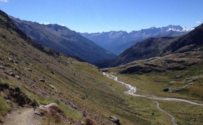
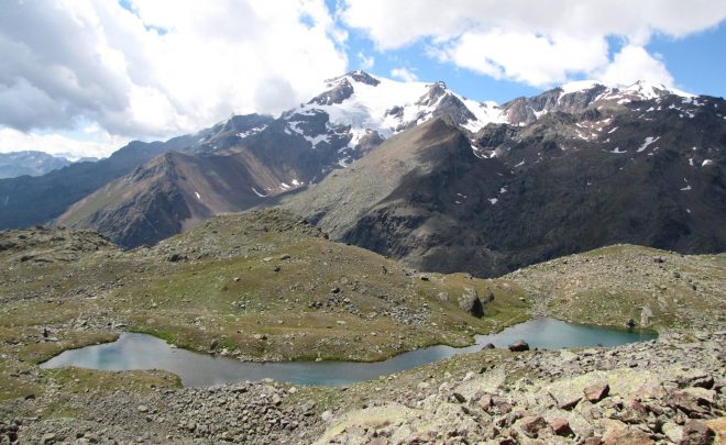
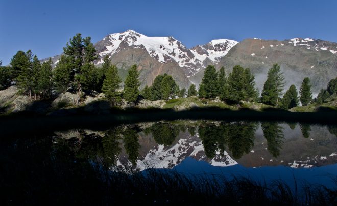
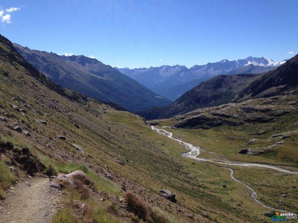
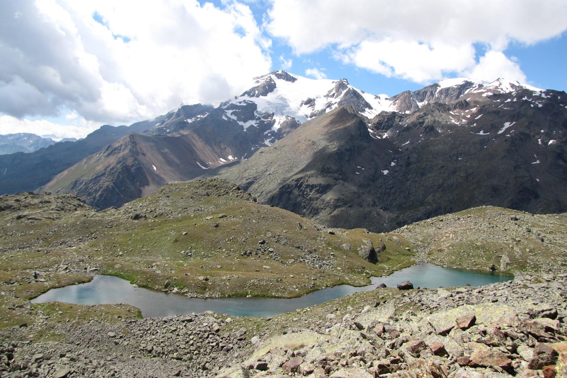
Cevedale Lakes
- Altitude (sea-level): 2,705 m
- Location: Cogolo di Peio
- Drainage basin: Noce – Noce Bianco
- Mountain group: Ortles
- Subgroup: Cevedale
- Duration: 5 hours
- Difficulty: E – excursion
- Climb gradient: 733 m
- SAT trail n.: 102 up to the Larcher mountain hut, thereafter the trail n. 104 to continue onwards up to Lake Careser trail n. 123 and to the starting location.
- Mountain hut: CAI – SAT – G. Larcher at 2,608 m
Covel Lake
- Altitude (sea-level): 1,839 m
- Location: Peio
- Drainage basin: Noce – Rio di vioz
- Mountain group: Ortles
- Duration: 50 minutes
- Difficulty: T – turistic
- Climb gradient: 260 m
- SAT trail n.: 105-125-127
Vallombrina Lakes
- Altitude (sea-level): 2,784 m
- Location: Peio Fonti
- Drainage basin: Noce – Rio Vallombrina
- Mountain group: Ortles
- Subgroup: Cevedale
- Duration: 9 hours
- Difficulty: EEA – hiking expert mountaineer
- Climb gradient: 1,450 m
- SAT trail n.: 110 – 110 bis – 124
- Mountain hut: Malga Paludel, Bivacco Battaglione Ortles
Download the brochure of the lakes of the Val di Sole
Trekking of the shelter
Larcher hut on Monte Cevedale
A particularly interesting itinerary for possible sightings of wildlife in the Park: chamois, marmots, rock ptarmigan, roe deers, deers and the eagle. Picturesque landscape characterized by the impressive snow-capped peaks of the Monte Cevedale, Palon de la Mare, Rosole and Vioz and of the stretches of water of the lakes.
- Zone: Ortles Alps; Stelvio National Park.
- Start point and destination: Peio city-center 1,579 m
- Climb gradient: 1,029 m
- Descent gradient: 1,040 m
- Duration: 2 days
Mantova al Vioz refuge
An itinerary that allows you to reach the highest mountain hut of the central and eastern Alps, at the feet of Mount Vioz (3645 m) where you can enjoy a wonderful view on the Forni Glacier.
- Zone: Ortles Alps; Stelvio National Park
- Start point: Peio Fonti 1,392 m
- Destination: Peio city-centre 1,579 m
- Climb gradient: 2,253 m
- Descent gradient: 2,066 m
- Duration: 2 days
Download the trekking brochure among the Val di Sole refuges